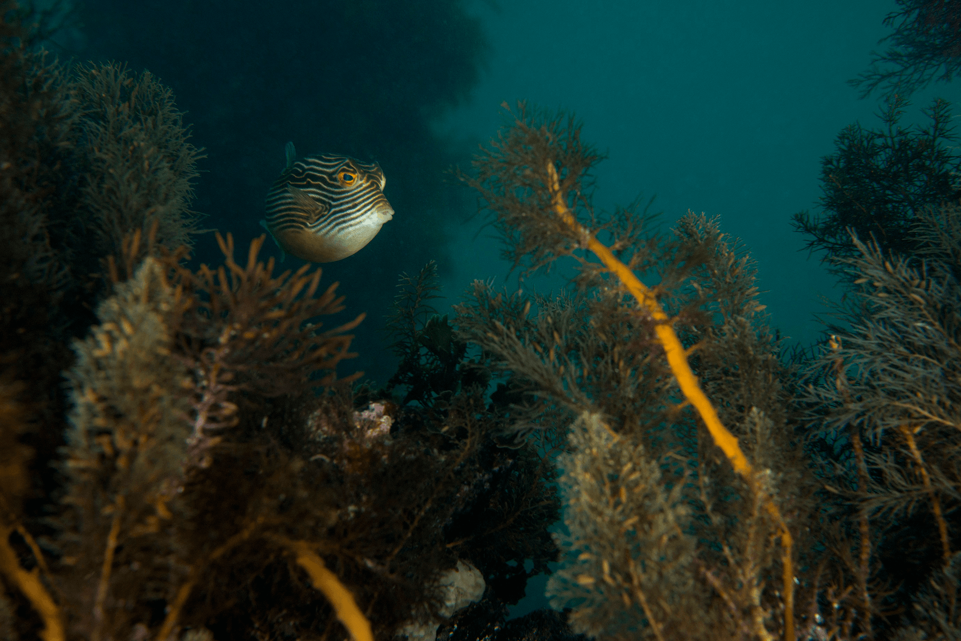
We know that our coastal communities and marine environments are interconnected, and that poor water quality in marine environments has a negative impact on marine ecosystems.
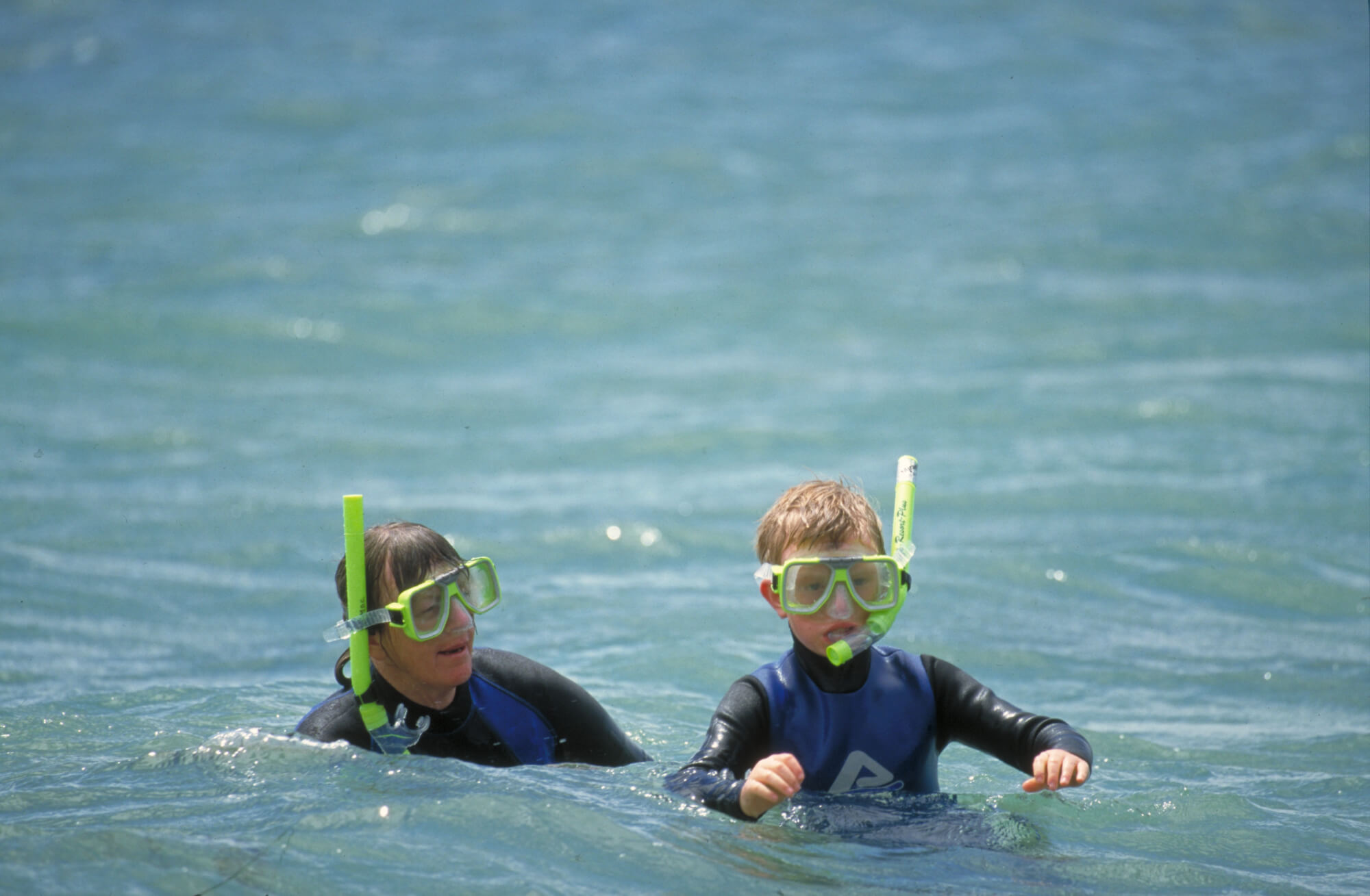
We also know that water quality also affects how humans use and enjoy these environments.
Did you know Water quality is monitored in Port Phillip Bay, Western Port and the Gippsland Lakes on a regular basis?
Port Phillip Bay has an Environmental Management Plan, which provides a strategic catchment-to-reefs approach to water quality management.
Each year the Environment Protection Authority (EPA) Victoria publishes a report card summarising the latest environmental water quality in Port Phillip Bay, Western Port and the Gippsland Lakes and their catchments.
EPA Victoria calculates an overall water quality index score (WQI) out of 10, corresponding to a rating of very poor to very good.
Port Phillip Bay’s WQI rating has been good or very good each year since 2001-02. The rating has been good each year for Western Port since 2000-01, except for a fair rating in 2017-18. The eastern Gippsland Lakes (Lake King and Lake Victoria) have been rated as good for six of the past seven years. Lake Wellington has been rated as poor for the past three years and poor or very poor in seven of the past ten years.
Port Phillip Bay
EPA Victoria forecasts how suitable more than 30 Port Phillip Bay beaches are for recreational uses during summer. Port Phillip Bay’s beaches are almost always suitable for recreational uses such as swimming, boating and canoeing except for the 24 hours after moderate to heavy rainfall. Variable stormwater impacts exist across Port Phillip Bay’s catchments that flow into the bay. Minor impacts to stream health are occurring in the Werribee catchment. Yet, stormwater in the Dandenong catchment is having a severe impact on stream health.
Western Port
The impacts of poor water quality in Western Port are seen in the effect on seagrass. Seagrass extent has a strong connection with light availability in Western Port. Turbidity caused by sediment loads and variation in water depth plays a major role in seagrass decline or growth. Turbidity is the amount of cloudiness in the water.
The Department of Environment, Land, Water and Planning (DELWP) has developed a condition assessment method for estuaries called the Index of Estuary Condition (IEC). Estuarine water quality is a sub-component of the IEC. The 2021 IEC rated water quality for five of the nine estuaries flowing into Western Port as very poor. We know that elevated turbidity is a key water quality issue for these estuaries.
Melbourne Water’s Healthy Waterway Strategy 2018-28 rated stormwater condition for Western Port as high (on a scale from very high to very low). It suggests that only minor impacts to stream health are occurring from stormwater. While the Western Port major catchment as a whole is rated as being in high condition, the stormwater condition scores vary at a sub-catchment level. Much of Western Port’s catchment is rural or forested, which is less impacted by stormwater. However, existing urban areas of the growth corridor rate lower for stormwater condition. For example, the Mornington Peninsula North-Eastern and Western Creeks sub-catchments both rated as having low stormwater condition.
Corner Inlet and Nooramunga
Currently, water quality is not routinely measured in the marine environment of Corner Inlet and Nooramunga. About 30 stormwater and agricultural drains discharge into Corner Inlet. The impact of urban stormwater drains is largely unknown due to a lack of information on water quality and quantity.
Gippsland Lakes
The water quality of the eastern lakes of Gippsland Lakes (Lake King and Lake Victoria) is often rated as good. Lake Wellington to the west has a higher frequency of poor water quality. Lake Wellington is a sink for sediments, nutrients and contaminants. Wind and waves within the shallow waters of the lake can re-suspend sediments and nutrients. Algal blooms often develop because of the high level of nutrients. Catchment works have focused on reducing sediment and nutrient loads transported to Lake Wellington.
Factsheet
Gippsland Lakes
Lake Victoria
Gippsland Lakes
Lake Wellington
Gippsland Lakes
Lake King
Corner Inlet and Nooramunga
Western Port
Port Phillip Bay
Data source: EPA Victoria, Melbourne Water, DELWP
Gippsland Lakes
Corner Inlet and Nooramunga
Western Port
Port Phillip Bay
Data source: EPA Victoria, Melbourne Water, Academic researchers
Statewide
Gippsland Lakes
Corner Inlet and Nooramunga
Western Port
Port Phillip Bay
Data source: DELWP
Statewide
Gippsland Lakes
Lake King
Gippsland Lakes
Lake Victoria
Gippsland Lakes
Lake Wellington
Corner Inlet and Nooramunga
Western Port
Port Phillip Bay
Data source: EPA Victoria, Integrated Marine Observing System (IMOS)
Port Phillip Bay
Data source: EPA Victoria
Corner Inlet and Nooramunga
Port Phillip Bay
Data source: EPA Victoria
Gippsland Lakes
Corner Inlet and Nooramunga
Western Port
Port Phillip Bay
Data source: Melbourne Water
Gippsland Lakes
Corner Inlet and Nooramunga
Western Port
Port Phillip Bay
Data source: Melbourne Water, Academic researchers
Gippsland Lakes
Lake King
Gippsland Lakes
Lake Victoria
Gippsland Lakes
Lake Wellington
Corner Inlet and Nooramunga
Western Port
Port Phillip Bay
Data source: Melbourne Water, Academic researchers
Gippsland Lakes
Corner Inlet and Nooramunga
Western Port
Port Phillip Bay
Data source: Department of Jobs, Precincts and Regions